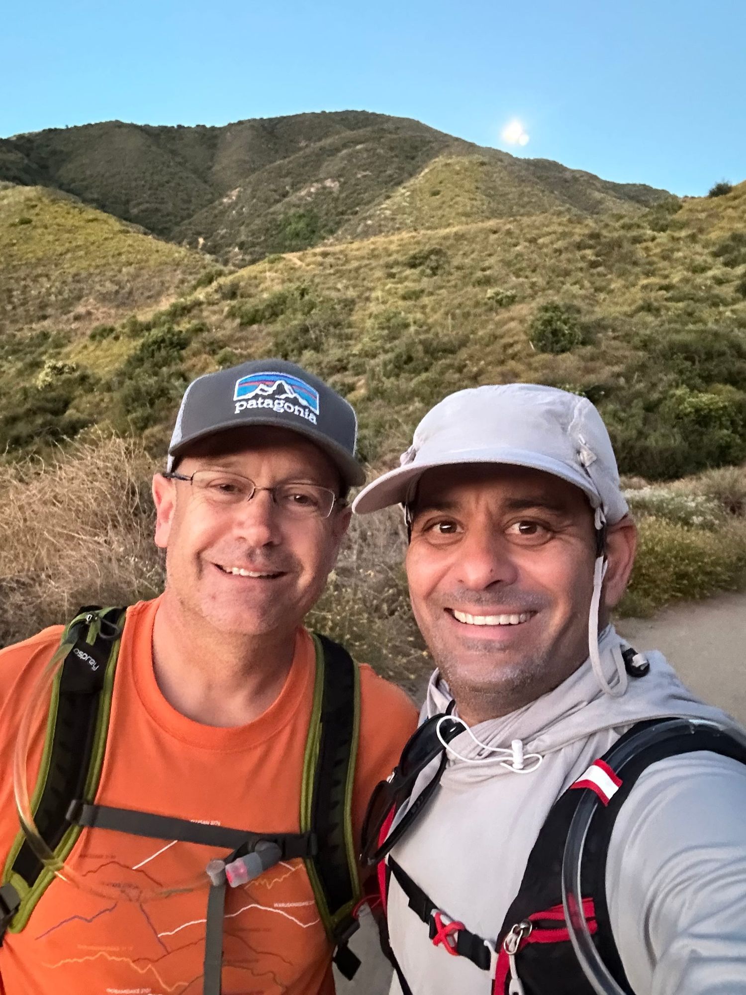
Friday June 7, 2024, I get a voice message from my friend Kevin Piper ".....back in January at your home we talked about Mt Whitney and how one has to now win a lottery to get a permit. I suppose we need to be careful what we wish for because I got the permit for an overnight stay on the mountain in August..........let's meet up to see if this is something we should plan for...."
Well, before we knew it, August was here, and just as fast, our date for the trip is here. Our hike date is Aug 19 and back down on Aug 20.
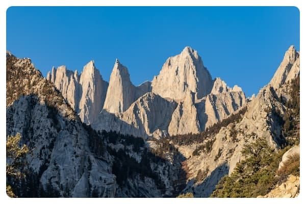
The natives and Aztecs, who were here much before us, called the mountain "Tumanguya" (Paiute language) "Very Old Man", is located in the Sierra Nevada, in California. In July 1864 the peak was officially named Mt Whitney after Josiah Whitney, the California State Geologist. If you thought it was named after Whitney Houston, well that's OK too. A few months ago there was a request to change the name to Mt Tumanguya which failed.
Mt. Whitney is the highest mountain in the lower 48 states reaching an elevation of 14,505 feet (4,421 meters). 87 miles from the mountain is Death Valley, the lowest topographic point at 282 feet below sea level. A mere 100 miles with a 15,000 ft elevation change!!
The Lottery: Every year more than 100,000 people apply of which 28,000 get permits. Approx 100 per day overnight campers and 60 same-day permits. Yipe, there are some who will hike the entire route in one day.
The Plan
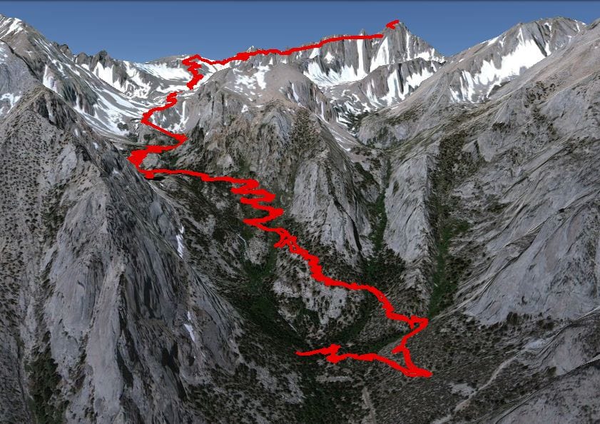
We will be breaking our climb in two parts:
- Day 0: Arrival at Lone Pine, visitor center, acclimatize, camp at the Whitney Trailhead campground. Elevation: 8,365 feet
- Day 1: Start after breakfast, hike about 6 miles, setup tent at Trail Camp. Elevation 12,000 ft.
- Day 2: Will be a loooooong day. 3am wake up, 5 miles to summit (14,505'), 5 miles down to Trail Camp, pack up gear and head down 6 miles to Trailhead campground, then drive home.
The mountain is kinda domed and has the infamous 99 switchbacks leading to the summit. The weather should be clear. Aug 19th will be close to a full moon which should make for a bright night and a fun summit hike.
Key Landmarks
- Lone Pine Lake — 9,900 ft / 3 miles from start
- Cottonwood Lake — 10,000 ft
- Guitar Lake — 11,600 ft
- Consultation Lake — 11,686 ft
- Trail Camp Pond — 12,000 ft / 6 miles from start (last water source, night halt)
Dedications
This trip is dedicated to family, friends, families of friends and friends of friends: To those who lost their lives, to those who fight the fight, to those who inspire us. Please email me if you wish to have someone's name on the flag to honor them — SandeepHardas@gmail.com
Kevin, let's do this thing.